The Seven Hanging Valleys trail
The Seven Hanging Valleys trail follows the golden cliffs of Lagoa for 5.7 km, from Praia de Vale Centeanes past Benagil to Praia da Marinha. Free, waymarked and graded medium.
- Length5.7 km one way
- Timeabout 3 h one way
- LevelMedium
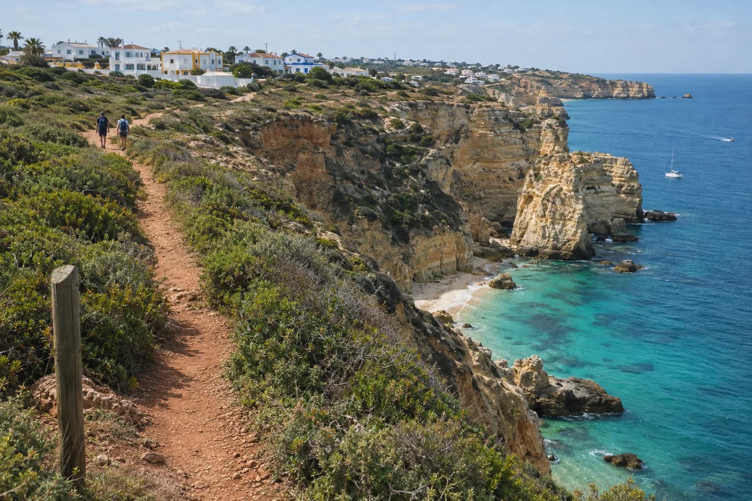
The route
The Percurso dos Sete Vales Suspensos: a walking nature trail along an almost unbroken line of cliffs, cut only by the dry valleys of small streams.
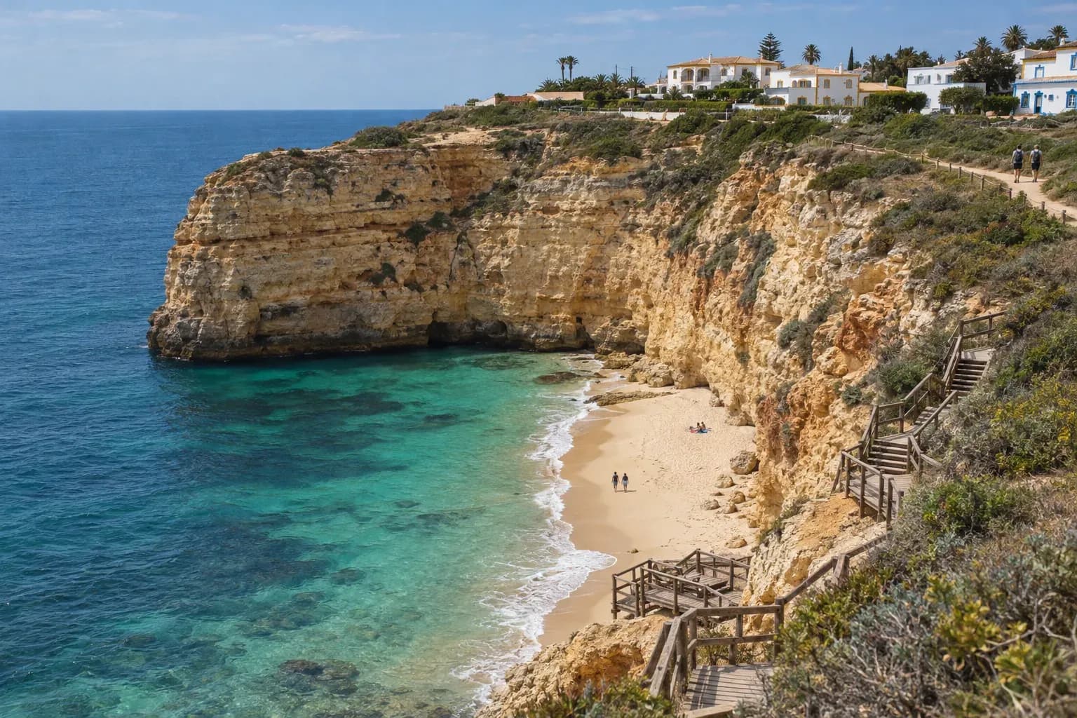
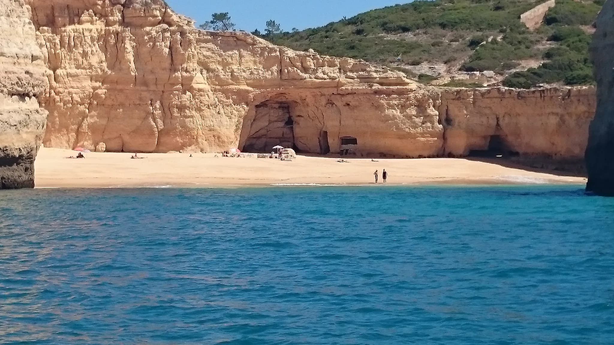
Praia de Vale Centeanes
The western end, east of Carvoeiro. A good place to start in the morning with the sun behind you.
Benagil
About two-thirds of the way: the beach below the village, where the guided kayak tours to the cave start.
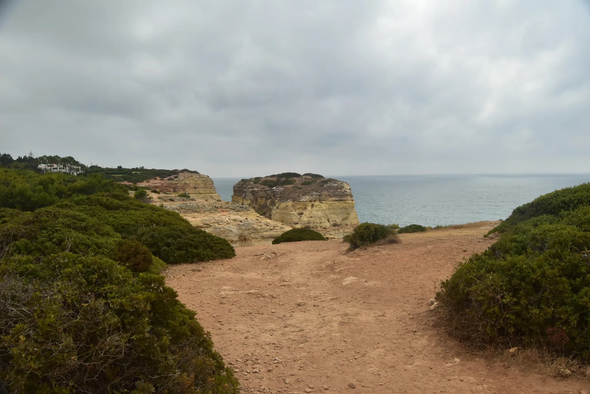
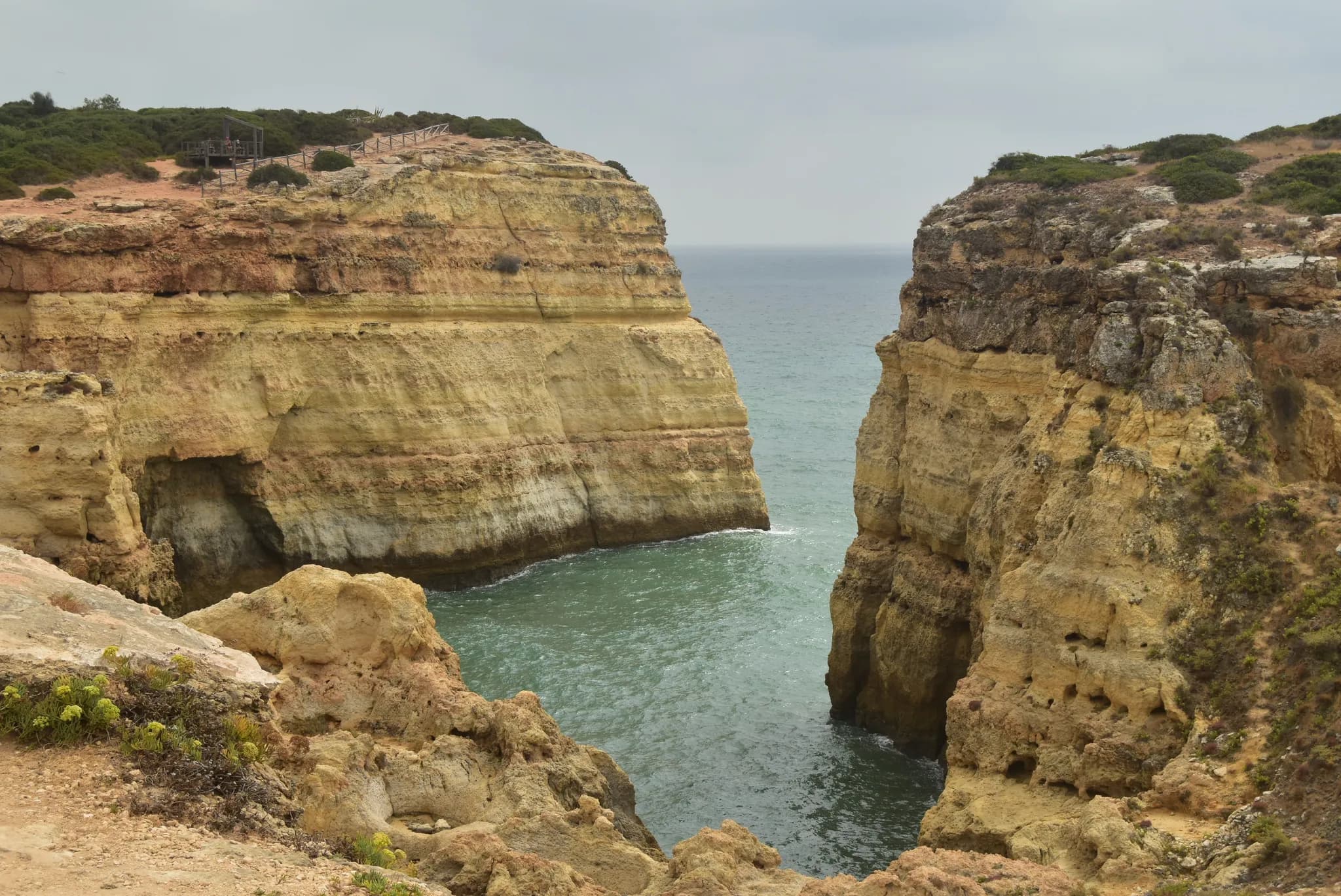
Praia da Marinha
The eastern end: a cove of sea stacks and clear water. Swim here if the flag allows.
- Official code
- PR1 LGA
- Waymarked in both directions with yellow and red paint marks, to the Portuguese walking federation's standard
- Length
- 5.7 km one way, per the Lagoa council
- The regional tourism board rounds it to 6 km, 12 km there and back
- Timeabout 3 hours one way, 6 hours there and back
- Level and ground
- Medium
- Earth paths along the cliff tops, stony in places
- On the way
- Praia de Vale Centeanes
- Cabo Carvoeiro
- Praia do Carvalho
- Praia de Benagil
- Praia da Marinha
- At Praia da Marinhaa large, orderly car park, a restaurant and toilets
- Lifeguards1 June to 30 September (2026) at Vale Centeanes, Benagil and Marinha
Checked October 2026: Município de Lagoa, Seven Hanging Valleys trailVisit Algarve (Turismo do Algarve), Seven Hanging Valleys walkARH Algarve, PR1 LGA trail leaflet (2010)Visit Algarve, Praia da MarinhaAutoridade Marítima Nacional, lifeguarded beaches 2026
- Vale Centeanes (start)
- Praia do Carvalho
- Benagil
- Praia da Marinha (end)
The dashed line is the waymarked route as drawn in OpenStreetMap. The path dips into a valley between most of the beaches.
Map: our drawing from © OpenStreetMap contributors data (ODbL), 2026-10-29.
Cliffs: keep back from the edge
The maritime authority notes that this stretch of coast, between Benagil and Praia da Marinha, is made of cliffs and that rockfalls have been reported, some with serious consequences.
- The cliffs on this coast are unstable: keep a safe distance from the edge, and do not linger at the top or the foot of the cliffs.
- There are sinkholes (algares) near the path: never cross the fences around them.
- Strong wind, swell, rain or loose stones can cause a fall.
- Take water, a hat and proper shoes: there is little shade.
Checked October 2026: Capitania do Porto de Portimão, Edital 019/2024 and amendment 009/2025Visit Algarve (Turismo do Algarve), Seven Hanging Valleys walkARH Algarve, PR1 LGA trail leaflet (2010)
The council calls it the best walking route in Europe (it does not name the award). Expect arches, coves and the dry valleys that give the walk its name.
Walk the top, then see it from the sea
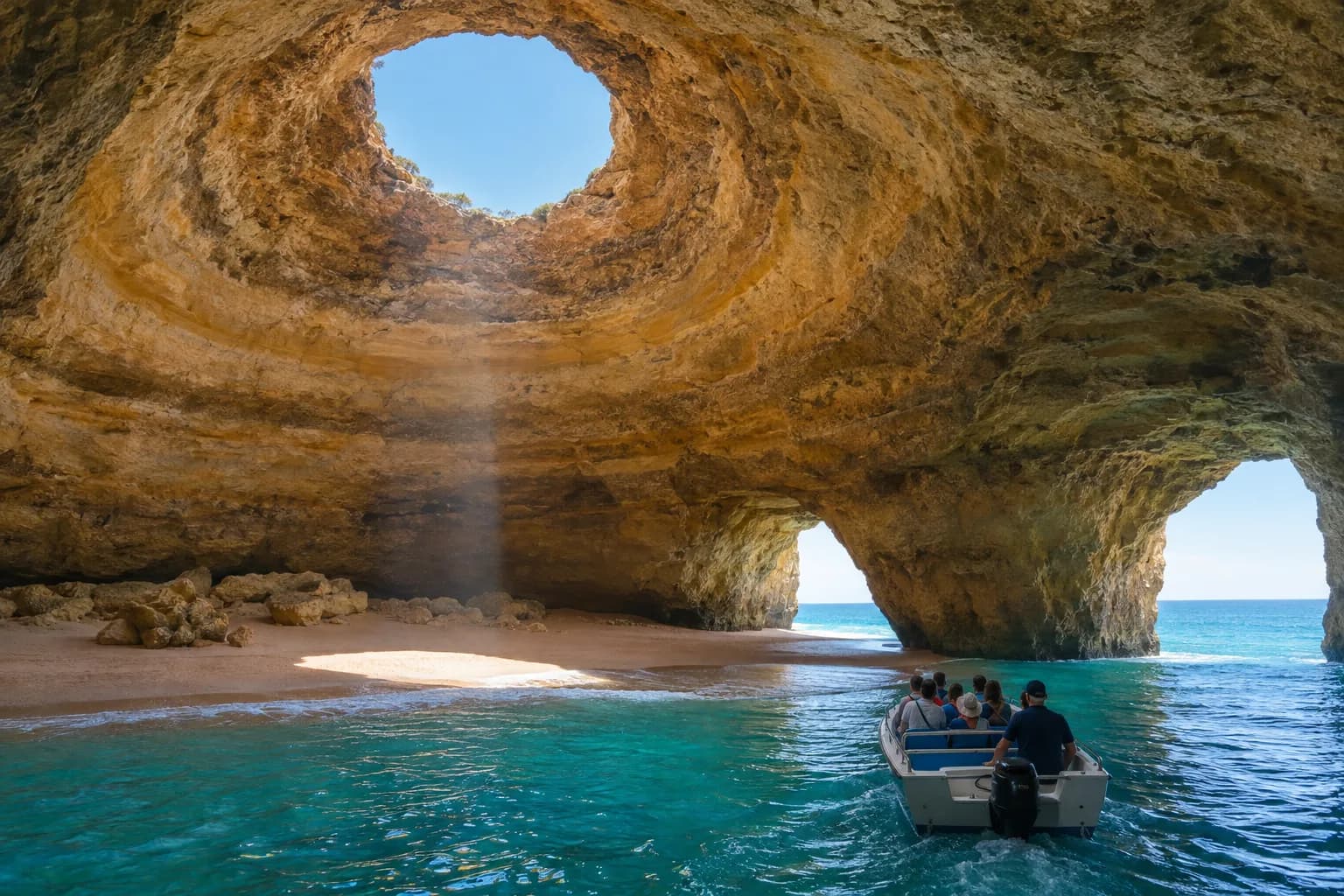
The same coast looks different from the water. Boats to the Benagil caves cost €19–€37 for a seat, guided kayaks €34–€50 (October 2026).
Seven Hanging Valleys questions
How long is the Seven Hanging Valleys trail?
5.7 km one way, from Praia de Vale Centeanes to Praia da Marinha, according to the Lagoa council. The regional tourism board gives about 3 hours one way and 6 hours there and back. It is not a loop: walk back the same way, or arrange a pick-up at the other end.
Where does the Seven Hanging Valleys trail start?
The official route runs from Praia de Vale Centeanes, east of Carvoeiro, to Praia da Marinha. You can start at either end, or join in the middle at Benagil.
When is the best time to walk it?
Spring and autumn. The path follows the cliff tops with little shade: in April the average high is about 21 °C, in August about 29 °C (IPMA, Faro). In summer, start early.
Can I see the Benagil cave from the trail?
The path passes above Benagil beach, and the cave sits in the cliffs nearby. Since 2024 you may not swim or land inside the cave, so to see it from the inside take a boat or a guided kayak (compare Benagil trips).
How hard is the Seven Hanging Valleys walk, and where do I park?
The official leaflet grades it medium: earth paths on the cliff tops, stony in places, with ups and downs at each valley. At the Praia da Marinha end there is a large car park with a restaurant and toilets.
Is the trail safe?
Keep well back from the edge. The maritime authority notes that this coast is made of cliffs and that rockfalls have been reported. Stay on the path, do not sit under the cliffs on the beaches, and watch children closely.
Walk it with a guide, or get a lift back.
Tell us the day and how many of you. We ask the local guides and drivers for a guided walk or a pick-up at the far end.