Things to do in Carvoeiro
Carvoeiro is a former fishing village around a small sandy bay, with white houses climbing the cliffs on both sides. A boardwalk winds through the rocks of Algar Seco, and a clifftop path runs west to Ferragudo.
- Blue Flag 2026Praia do Carvoeiro
- Algar Seco walkwayabout 600 m
- Cliff path to Ferragudo6 km
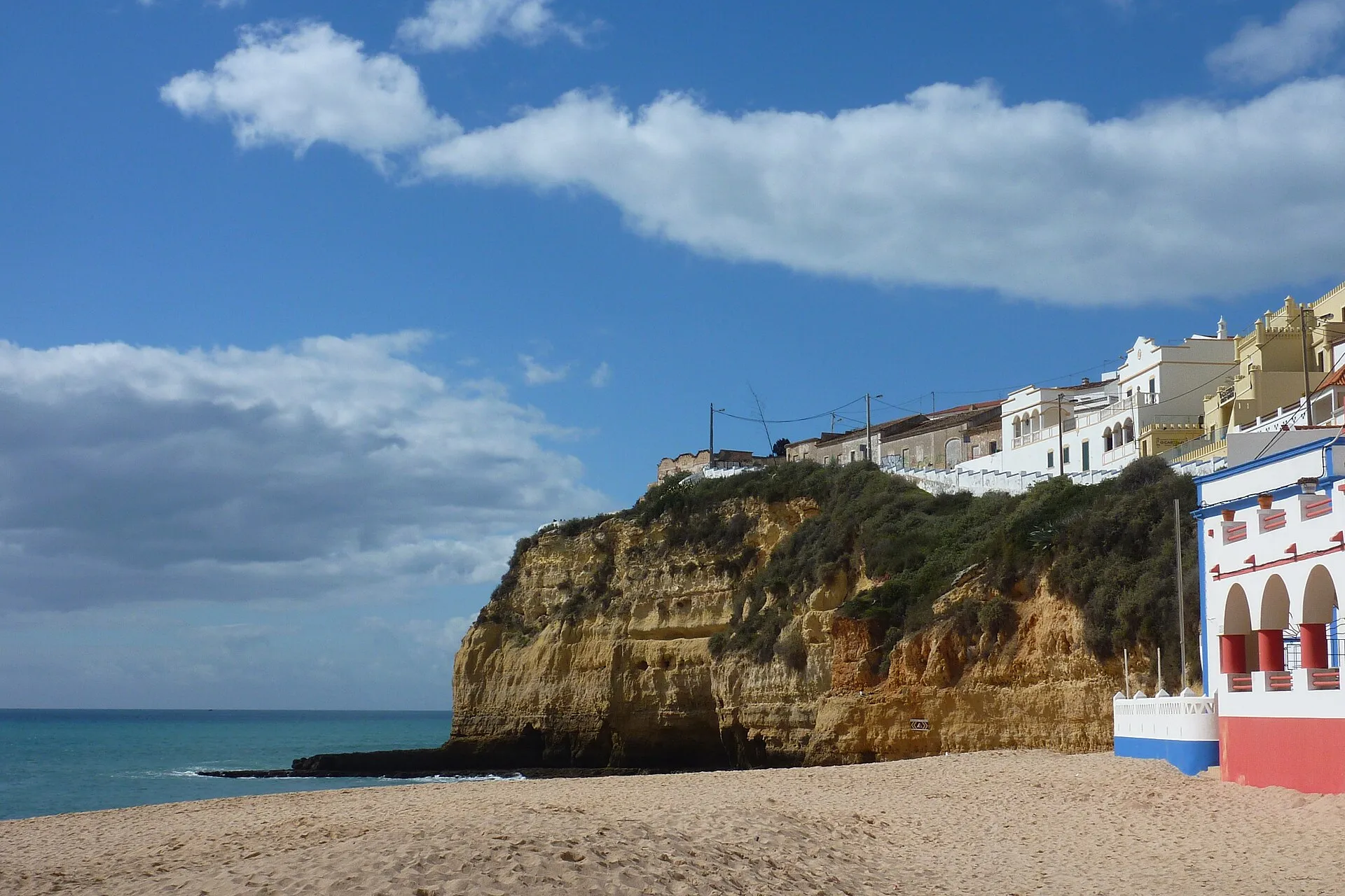
Photo: muffinn from Worcester, UK, CC BY 2.0
The village and the bay
Once a fishing village, now a busy little resort, the council says.
- Praia do Carvoeiro sits in an amphitheatre of cliffs, with the village above it.
- On the promontory to the east stand the gate and the wall of a 17th-century fort.
- The Algar Seco boardwalk starts a few minutes east of the beach.
- The Seven Hanging Valleys trail starts at Vale Centeanes, just east of the village.
Checked November 2026: Município de Lagoa (Welcome to Lagoa), Carvoeiro villageVisit Algarve, Praia do Carvoeiro and Praia do ParaísoMunicípio de Lagoa (Welcome to Lagoa), Fortaleza de Nossa Senhora da EncarnaçãoMunicípio de Lagoa, Algar Seco walkway (Portuguese)
- Praia do Carvoeiro
- Praia do Paraíso
- Fort of Our Lady of the Incarnation
- Algar Seco
- Praia de Vale Centeanes
The Caminho dos Promontórios starts at Praia do Paraíso and runs west, off this map, to Praia do Molhe by Ferragudo.
Map: our drawing from © OpenStreetMap contributors data (ODbL), 2026-11-05.
Beaches
The village beach is the busy one. The coves around it are quieter and some are reached only by stairs.
| Beach | What it is |
|---|---|
| Praia do Carvoeiro |
|
| Praia do Paraíso |
|
| Praia de Vale Centeanes |
|
- Lifeguards from 1 June to 30 September (2026 season). Carvoeiro and Vale Centeanes only.
Walks and sights
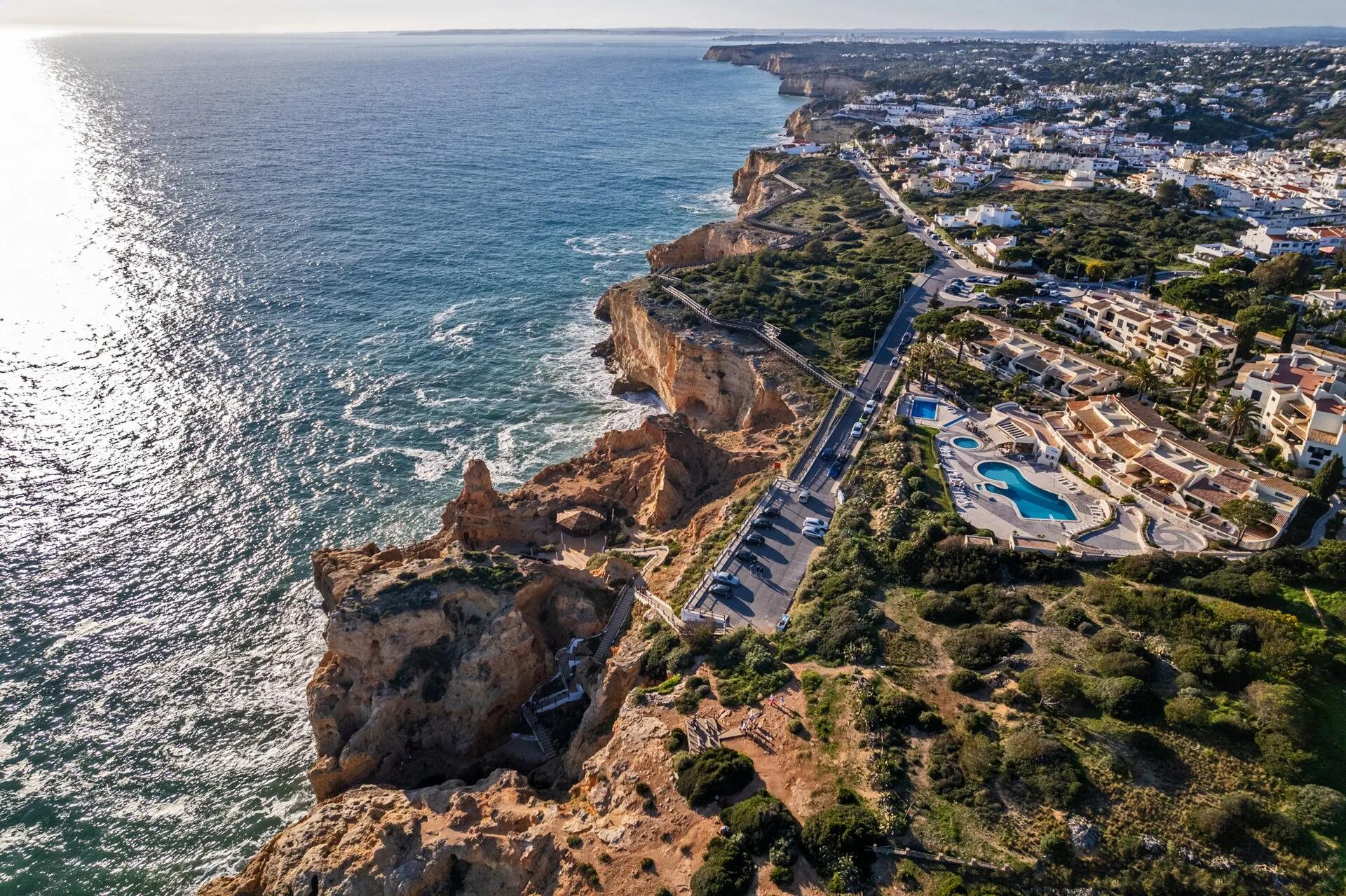
- BoardwalkAlgar SecoAbout 600 m of walkway through ochre limestone carved by rain and sea into a maze of rocks and sinkholes.
- Where
- East of the beach, along the cliff road
- Cliff pathCaminho dos PromontóriosThe council's clifftop path from Praia do Paraíso to Praia do Molhe near Ferragudo, with panels on the geology and the plants.
- Length
- 6 km one way
- 12 km there and back
- Level
- Medium
- Best
- Spring and autumn. Avoid hot, wet or windy days
- Bring
- Sturdy shoes
- Water
- Binoculars
- HistoryThe old fortBegun in 1670 to guard the bay against pirates. Only the east wall and the gate remain, beside a chapel.
- Open
- No hours published: you see it from the walkway
Checked November 2026: Município de Lagoa, Algar Seco walkway (Portuguese)Município de Lagoa, Caminho dos Promontórios (Portuguese)Município de Lagoa (Welcome to Lagoa), Fortaleza de Nossa Senhora da Encarnação
On the water
Boats to the Benagil caves leave from the beach itself.
| Trip | Takes | Price | Sold by |
|---|---|---|---|
| Benagil caves and Praia da Marinha, shared boat | 1 h 30 | €37 | 1 operator |
| The same trip, private boat (price per boat) | 1 h 30 | €370 | 1 operator |
Getting to Carvoeiro
Lagoa is 5 km inland. The nearest train station is Portimão.
- From Faro airport65 km, about 55 min
- From Lagos36 km, about 40 min
- From Portimão11 km, about 20 min
By car without traffic, our estimate from OSRM routing on OpenStreetMap roads, 2026-10-29.
Carvoeiro questions
Is Praia do Carvoeiro a Blue Flag beach?
Yes, in 2026. Lifeguards watch it from 1 June to 30 September.
How long is the Algar Seco boardwalk?
About 600 metres, the council says. It winds through the rock formations east of the beach.
Can I walk from Carvoeiro to Ferragudo?
Yes. The Caminho dos Promontórios runs 6 km along the cliffs from Praia do Paraíso to Praia do Molhe. The council rates it medium.
Is Praia do Paraíso safe?
It has no lifeguards, and almost all of it lies in a rockfall zone. Keep well away from the cliff foot.
A day in Carvoeiro, sorted.
Tell us the date and who is coming. We line up a boat to the caves, a kayak or a table with a view.