Things to do in Monchique
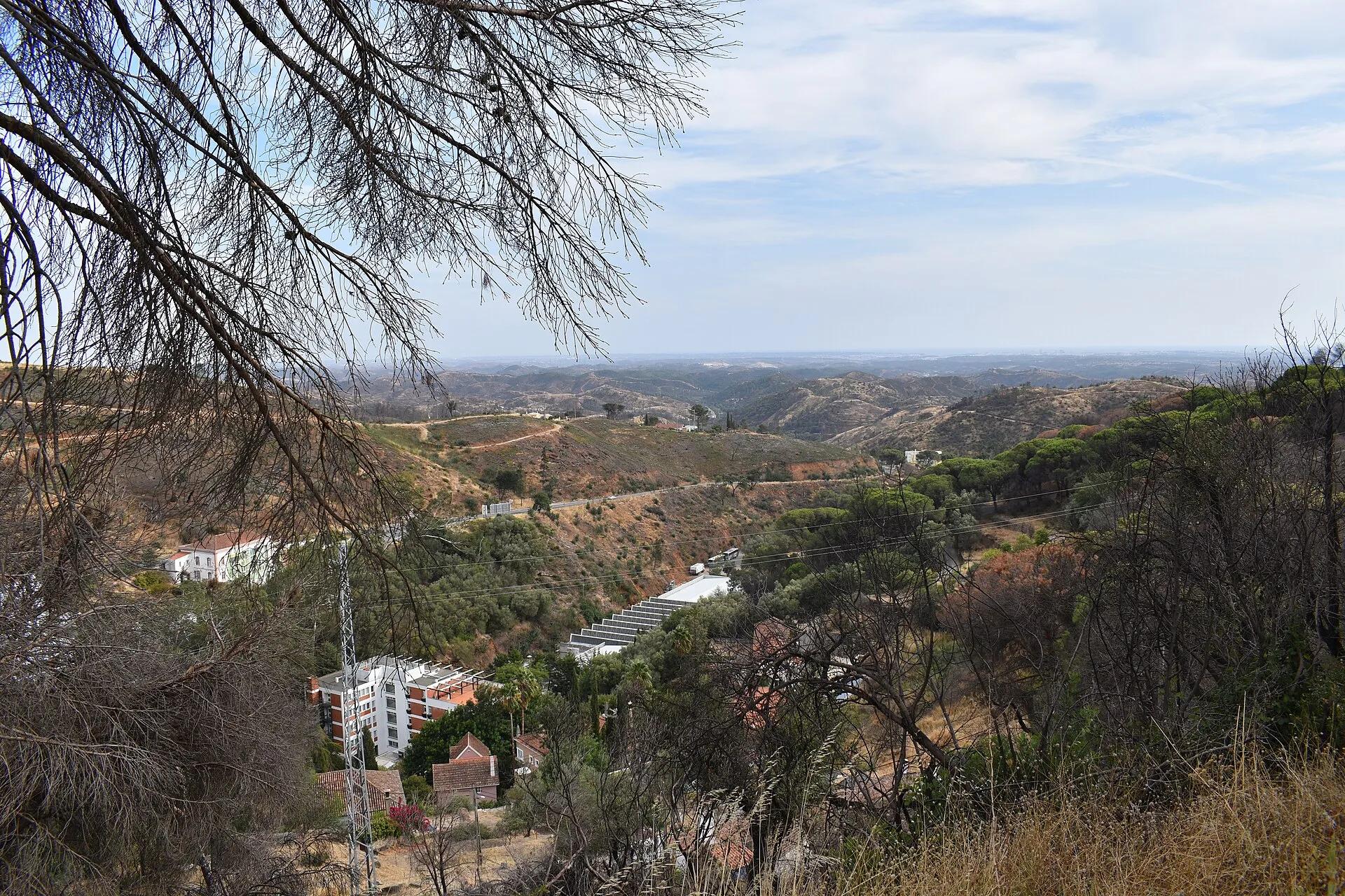
Monchique is the Algarve's mountain town, in the hills north of Portimão. Above it rise Fóia, the highest point in the region, and the steeper Picota. Below lies the old spa village of Caldas de Monchique.
- Fóia902 m
- Picota774 m
- Fóia trailabout 7 km
The peaks
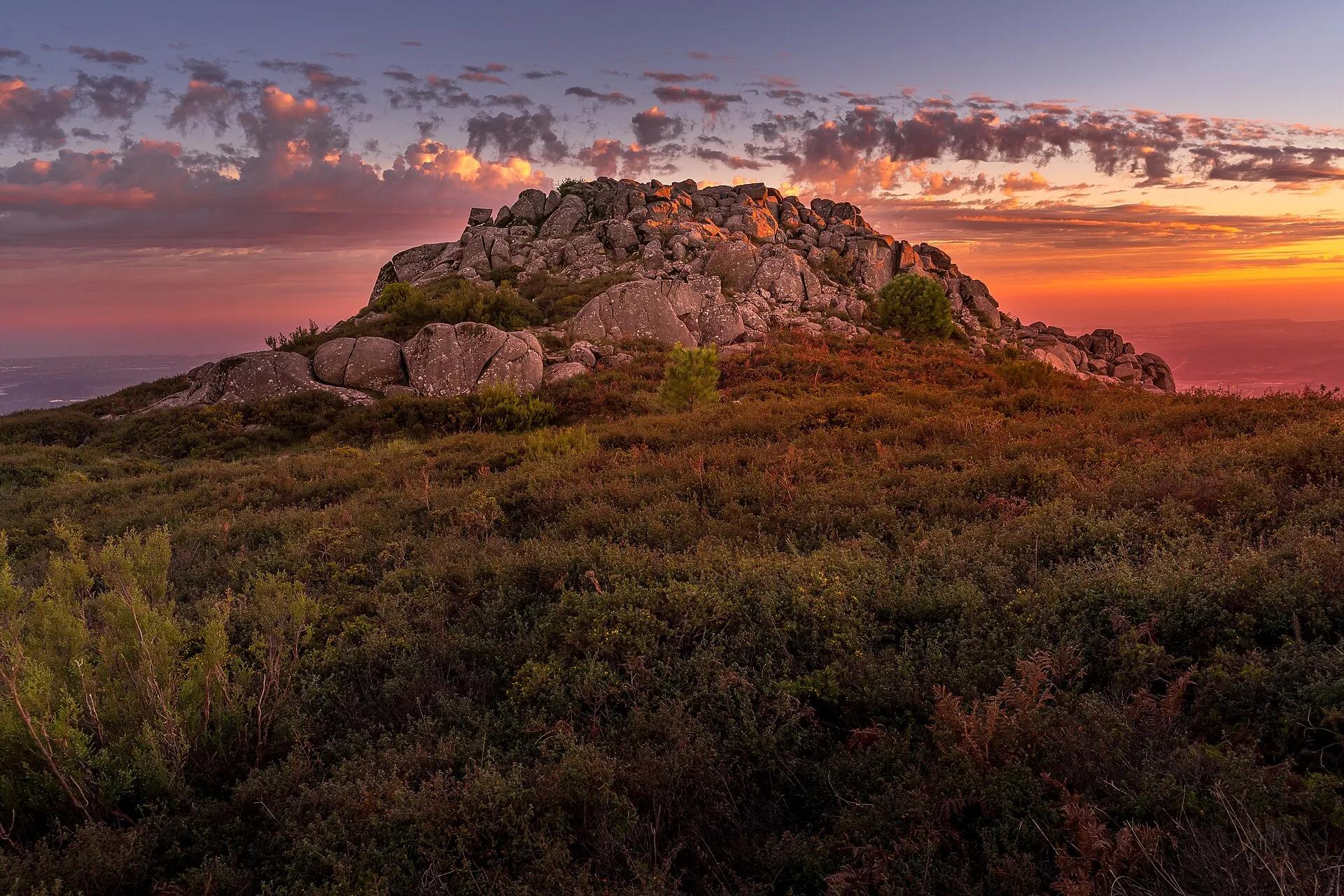
Two summits, two characters: Fóia, reached by road, and Picota, the steeper climb.
- Fóia is 902 m high, the highest point in the Algarve. A road goes to the top.
- On clear days the view takes in most of the Algarve, from Faro to Cape St Vincent.
- Picota, at 774 m, is steeper, with wide views of the coast and the sea.
- More viewpoints: São Sebastião in the town park, Fonte Santa and the Caldas viewpoint.
Checked November 2026: Turismo do Algarve, Monchique leaflet (June 2025, PDF)Visit Algarve, travel planner: the Monchique mountains
- Fóia, 902 m
- Monchique town
- Convent ruins
- Picota, 774 m
- Caldas de Monchique
The road from Portimão climbs past Caldas de Monchique to the town, then on to Fóia.
Map: our drawing from © OpenStreetMap contributors data (ODbL), 2026-11-05.
Town and Caldas
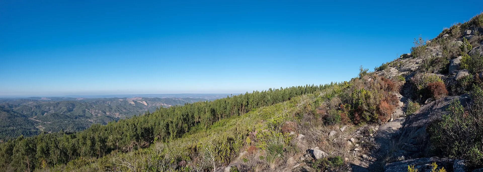
- The townMonchiqueThe town in the hills, with the ruined Convent of Nossa Senhora do Desterro, founded in 1631, above it.
- Convent
- A ruin seen from outside: no visiting hours published
- Spa villageCaldas de MonchiqueThe old spa village below Picota. The Picota trail starts at its car park.
- Local drinkMedronhoThe strawberry-tree brandy the council calls famous, distilled from fruit picked in autumn.
Checked November 2026: Município de Monchique (Visit Monchique), the town (Portuguese)Turismo do Algarve, Monchique leaflet (June 2025, PDF)Município de Monchique (Visit Monchique), tradition (Portuguese)
Out and about
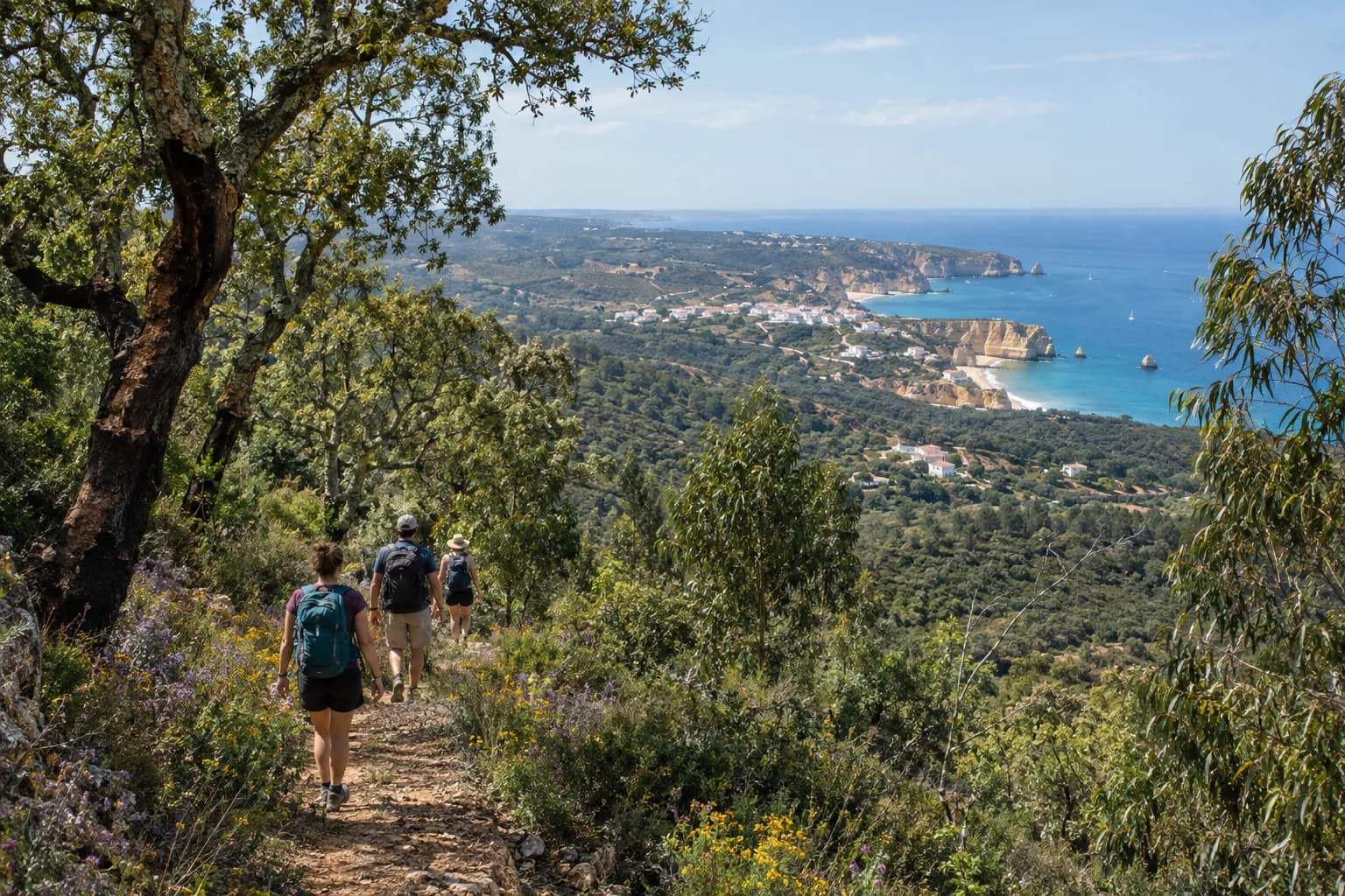
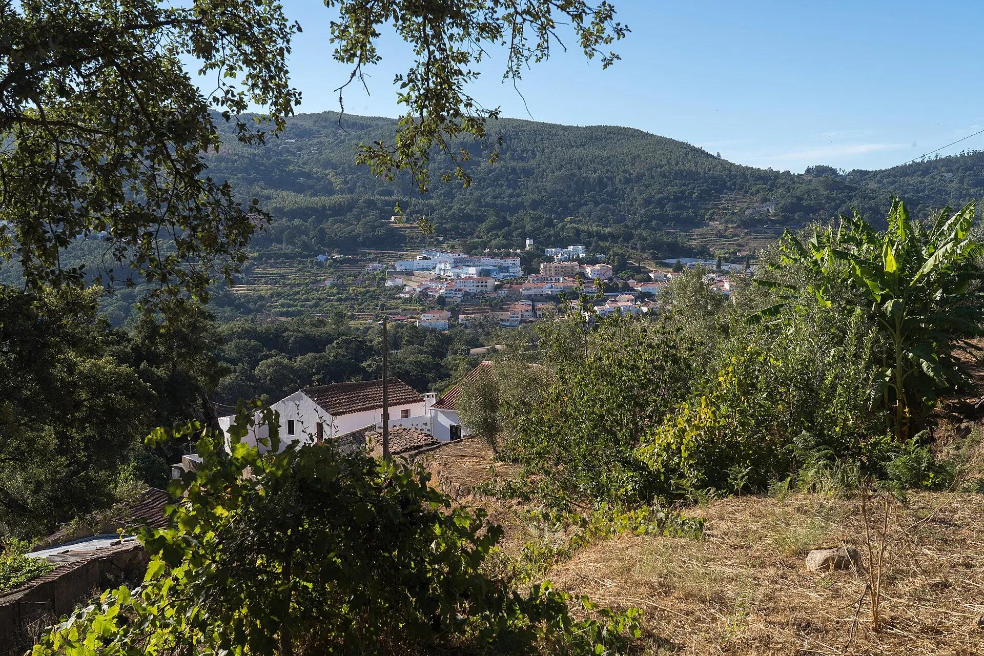
- PR3Fóia trailA circular walk from the summit.
- Length
- About 7 km, about 2 h
- Climb
- About 355 m
- Level
- Somewhat hard
- PR2Caldas to PicotaA circular route from the Caldas car park to the summit of Picota and back.
- Length
- About 18 km, about 5 h
- Level
- Hard
- FestivalWalking festivalGuided walks in the hills on 27 to 29 November 2026.
- Booking
- Required for every walk
Checked November 2026: Visit Algarve, Fóia trailVia Algarviana, PR2 MCQ Caldas to Picota trailMunicípio de Monchique, guided walks 2026/2027 (Portuguese)Eventos de Monchique, walking festival 2026 (Portuguese)
Getting to Monchique
Monchique is inland, in the hills north of Portimão.
- From Faro airport86 km, about 70 min
- From Lagos41 km, about 45 min
- From Portimão26 km, about 30 min
By car without traffic, our estimate from OSRM routing on OpenStreetMap roads, 2026-10-29.
Monchique questions
How high is Fóia?
902 metres, the highest point in the Algarve. A road goes to the summit.
What is the best walk in Monchique?
The Fóia trail is a circular walk of about 7 km, about two hours. The Caldas to Picota route is about 18 km and hard.
When is the Monchique walking festival?
27 to 29 November 2026, with guided walks. Booking is required.
A day in the hills.
Tell us the date and who is coming. We line up a guided walk, an e-bike ride or a spa afternoon.