Praia da Rocha
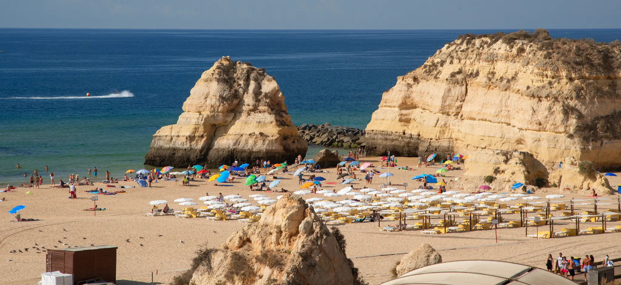
Praia da Rocha is Portimão's beach resort, with over 1 km of sand under warm-coloured cliffs. The fort stands at the east end, and the seafront avenue runs on to the marina.
- Beach lengthOver 1 km
- Blue Flag 2026Yes
- Lifeguards1 June to 30 September
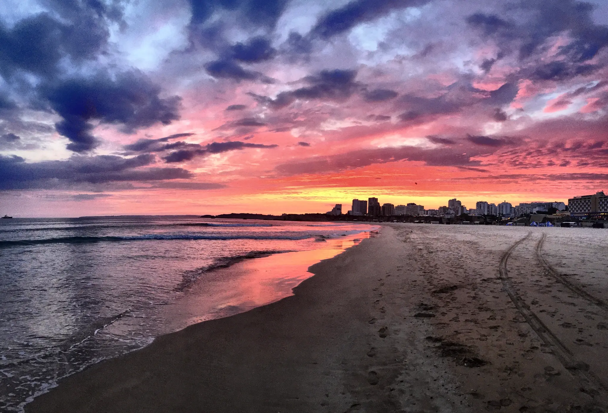
Photo: CesareBonaparte, CC BY-SA 4.0
A beach under the cliffs
The beach, the fort, the seafront avenue and the marina sit on one stretch of coast.
- Wide wooden walkways run along the sand, with bars, restaurants and a beach-sports area.
- The fort stands at the east end, at the mouth of the Arade river.
- Viewpoints sit at both ends: Três Castelos to the west, the fort to the east.
- The seafront avenue runs from the beach to Portimão Marina.
- Praia da Rocha holds a 2026 Blue Flag.
Checked November 2026: Visit Portimão, Praia da RochaVisit Algarve, Praia da RochaABAE, Blue Flag 2026Património Cultural, Forte de Santa Catarina
- Praia da Rocha
- Três Castelos
- Forte de Santa Catarina
- Marina de Portimão
The beach runs from Três Castelos in the west to the fort at the Arade mouth in the east. Points from the ABAE 2026 list and the fort's heritage record.
Map: our drawing from © OpenStreetMap contributors data (ODbL), 2026-10-29.
Beaches at the resort
Three stretches of sand sit on the lifeguard list.
| Beach | What it is |
|---|---|
| Praia da Rocha |
|
| Praia dos Três Castelos | The west end of the beach, with a viewpoint |
| Praia da Marina de Portimão | Beside Portimão Marina |
- Lifeguards work from 1 June to 30 September.
- Marina de Portimão is on the 2026 Blue Flag list as a marina.
The fort, the avenue and the marina
Walk from the sand to the fort, then along the avenue to the marina.
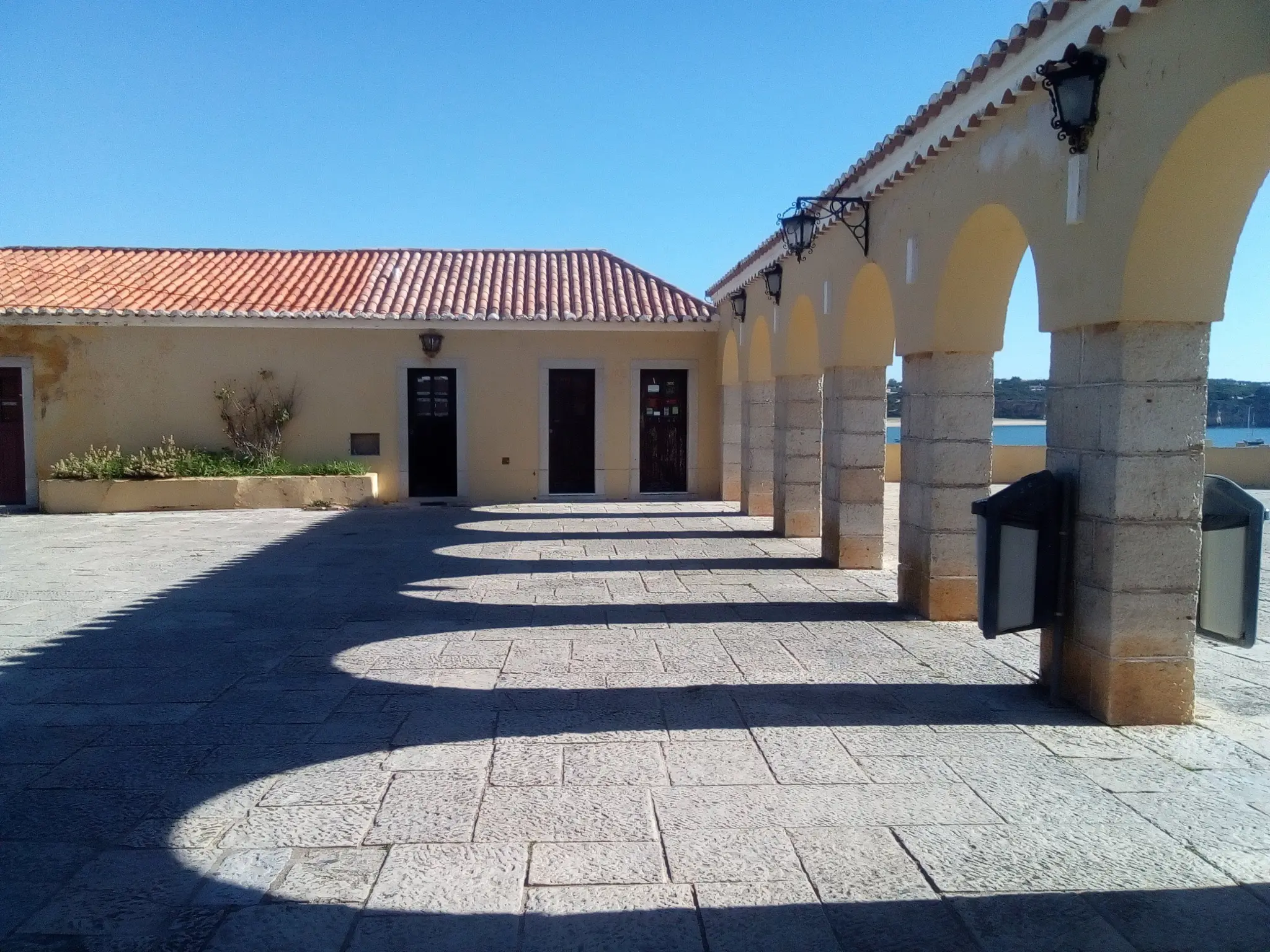
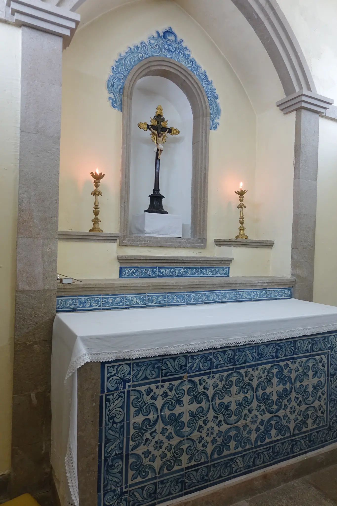
- FortForte de Santa CatarinaAlso called Santa Catarina de Ribamar, the fort stands at the tip of Praia da Rocha.Alexandre Massai surveyed the Arade mouth in 1621. Works ran from 1629 to 1633.The 1755 earthquake damaged the fort.The chapel of Saint Catherine of Alexandria was already there when the fort was built. It is still used for contemplation.
- ProtectedImóvel de Interesse Público, Decreto n.º 129/77 of 29 September 1977
- Where
- Avenida Tomás Cabreira, at the tip of the beach
- Visits
- Open to the public
- PromenadeThe seafront avenueThe avenue runs from the beach to Portimão Marina.Hotels, restaurants, bars, nightclubs and a casino line the way.
- MarinaMarina de PortimãoThe seafront avenue ends at the marina.Marina de Portimão is on the 2026 Blue Flag list as a marina.Praia da Marina de Portimão has lifeguards from 1 June to 30 September.
Checked November 2026: Património Cultural, Forte de Santa CatarinaVisit Portimão, Fortaleza de Santa CatarinaVisit Portimão, Praia da RochaVisit Algarve, Praia da RochaABAE, Blue Flag 2026Autoridade Marítima Nacional, Praias Vigiadas
A day on Praia da Rocha
Beach in the morning, fort at midday, the avenue to the marina in the afternoon.
Morning: the sand
Start on the beach. Wooden walkways run along the sand, with bars and restaurants behind.
Midday: the fort
Walk to the fort at the east end. It is open to the public.
Afternoon: the avenue
Follow the seafront avenue to Portimão Marina, past its hotels, restaurants and bars.
Getting to Praia da Rocha
Portimão is the town behind the beach. Ferragudo and Alvor lie close by.
- From Faro airport74 km, about 60 min
- From Lagos23 km, about 30 min
- From Portimão2 km, about 5 min
By car without traffic, our estimate from OSRM routing on OpenStreetMap roads, 2026-10-29.
Praia da Rocha questions
How long is Praia da Rocha?
Over 1 km of sand, under warm-coloured cliffs.
Is Praia da Rocha a Blue Flag beach?
Yes. It is on the 2026 Blue Flag list from ABAE.
When are the lifeguards on Praia da Rocha?
From 1 June to 30 September.
Can you visit the Forte de Santa Catarina?
Yes, it is open to the public. Works on it ran from 1629 to 1633.
Is there a walk from the beach to the marina?
Yes. The seafront avenue runs from the beach to Portimão Marina.
A day at Praia da Rocha, planned.
Tell us the date and who is coming, and we will plan the beach, the fort and the avenue with you.